Bryan L. Bailey Associates, Inc. Surveyors and Engineers
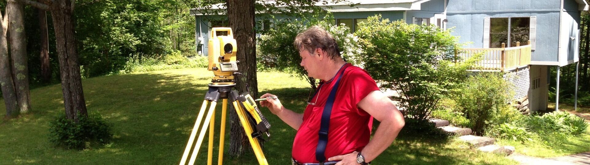
Land Survey
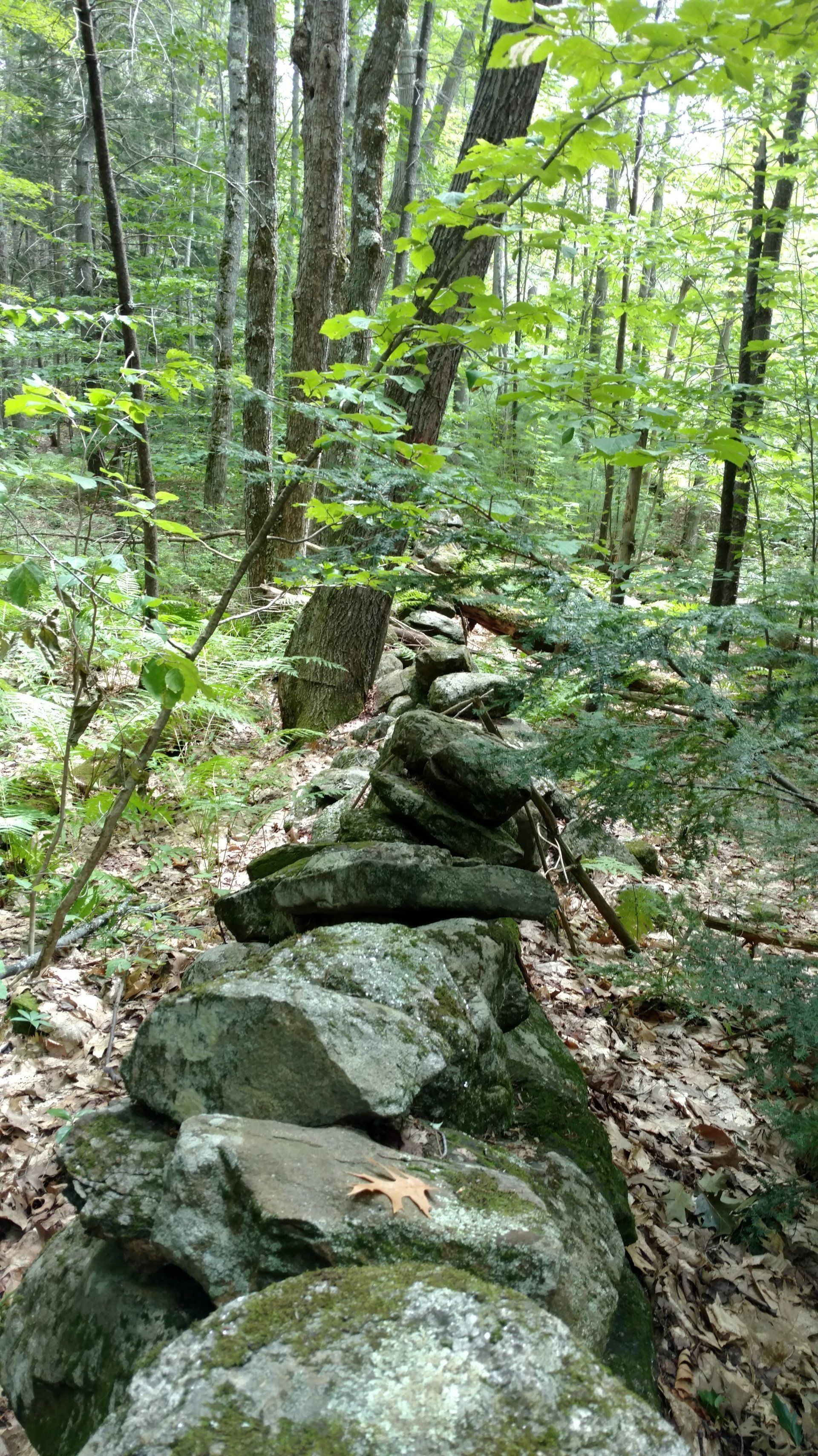
- Boundary Survey
- Topographical Surveys
- GPS Control Survey
- Site Plan
- Plot Plans
- Planning Board Hearings
- Zoning Board of Adjustment hearings
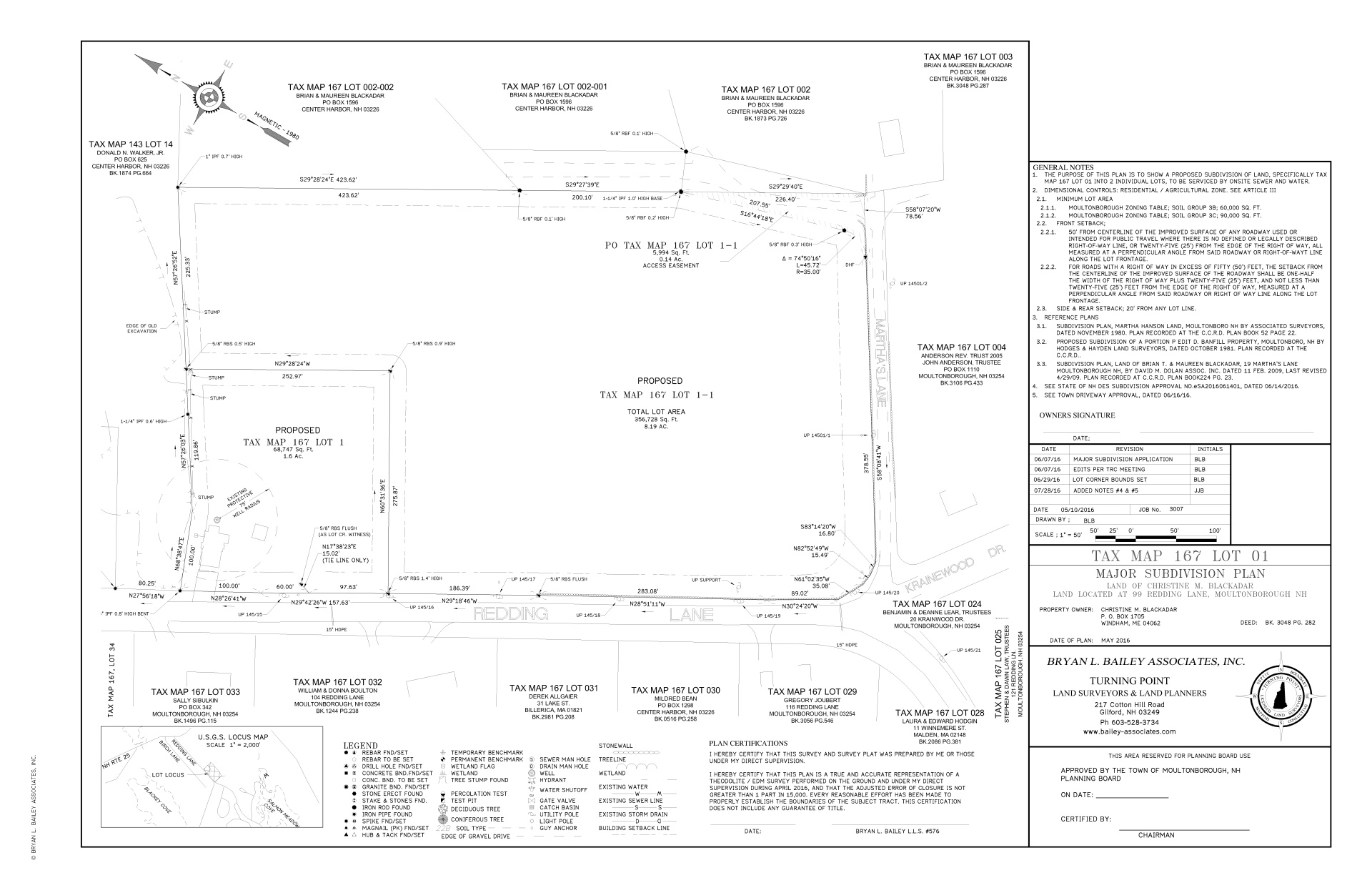
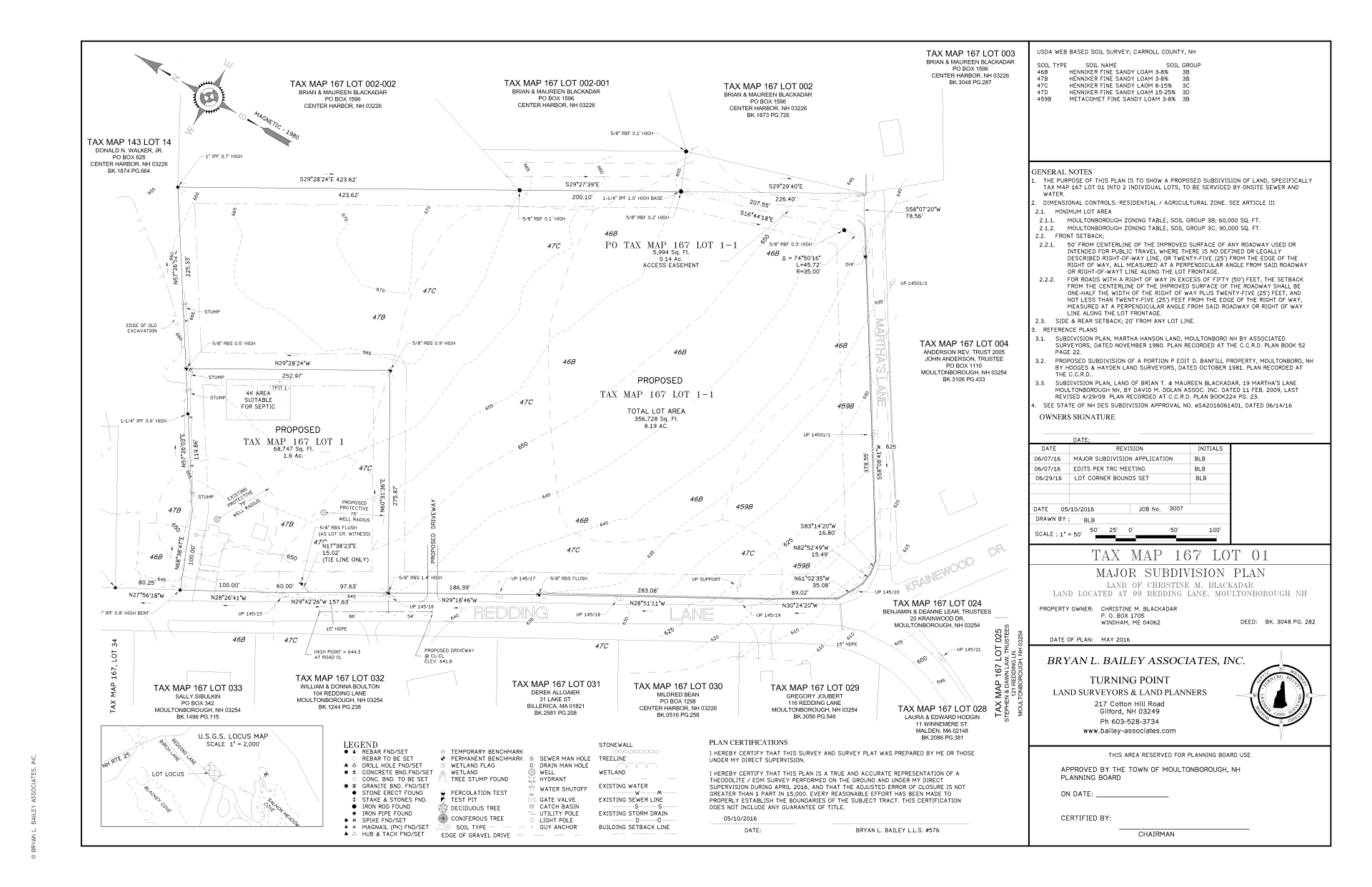
- Subdivisions plans
- Boundary Line Adjustment plans
- Lot Mergers
- Condex Conversion Survey
- As-built Surveys
- Heavy Steel Layout
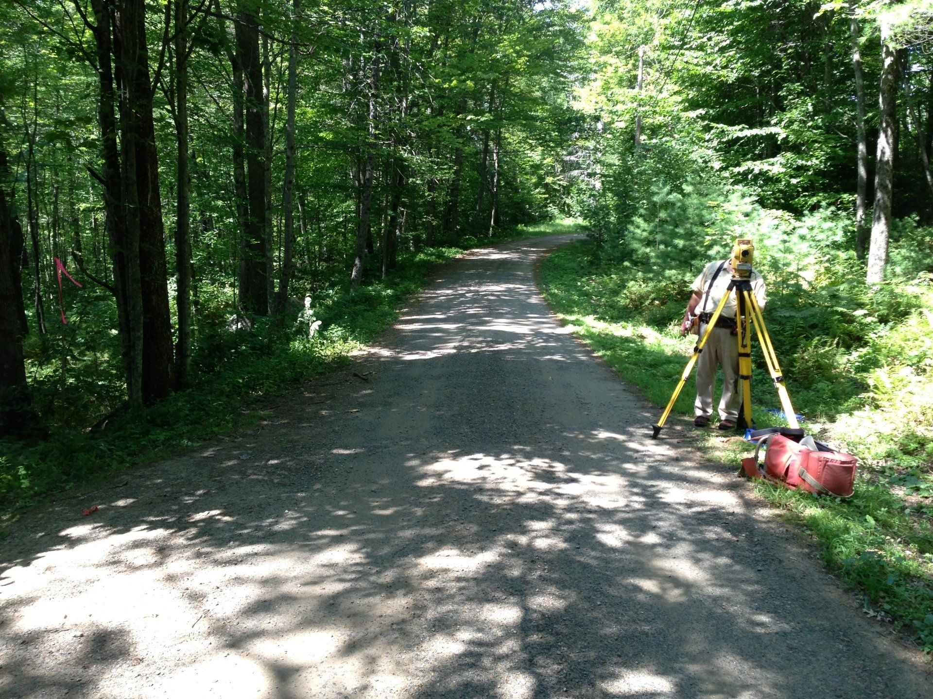
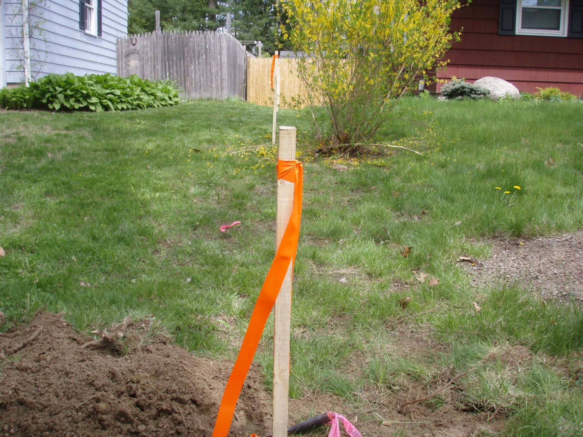
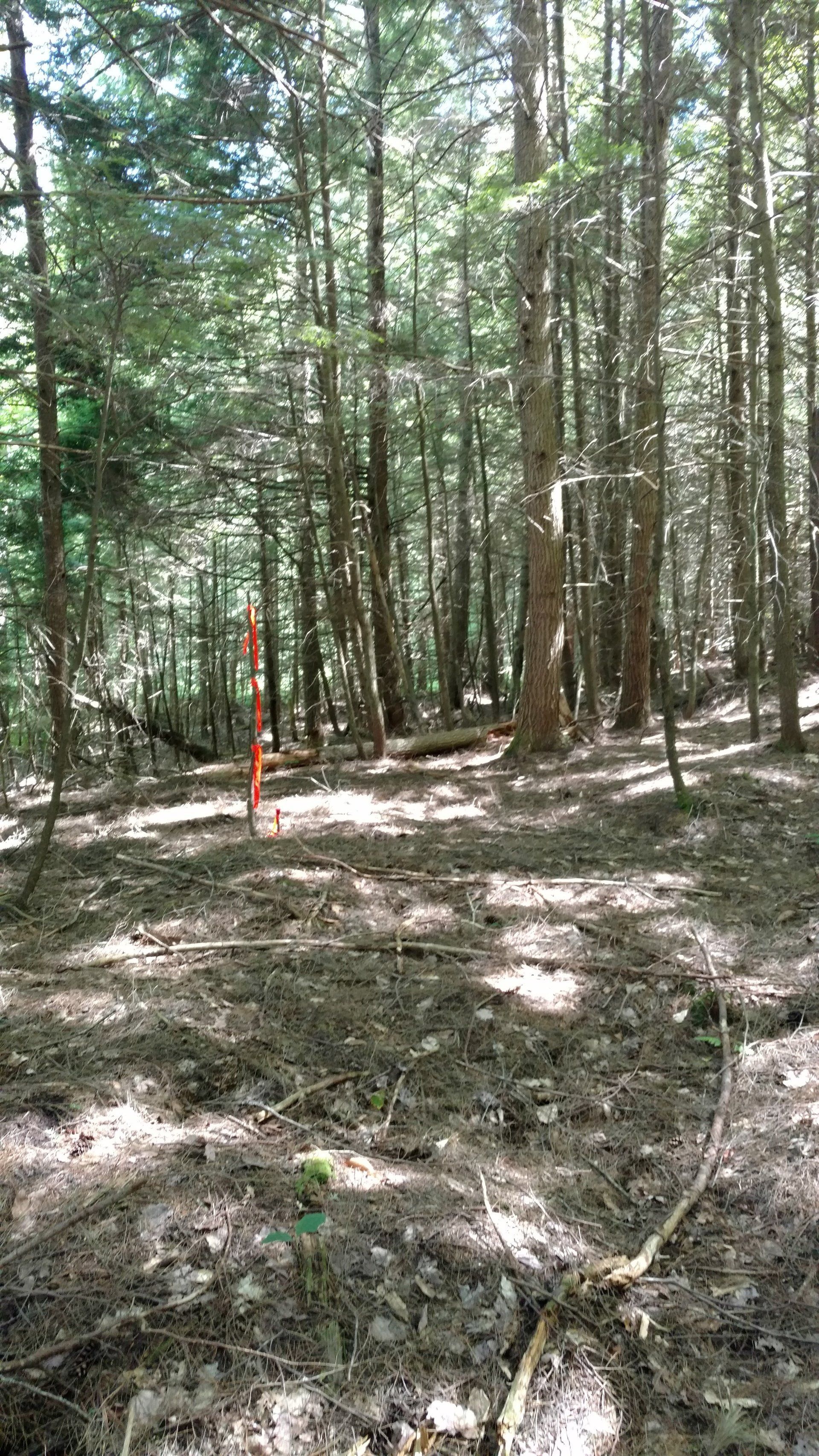
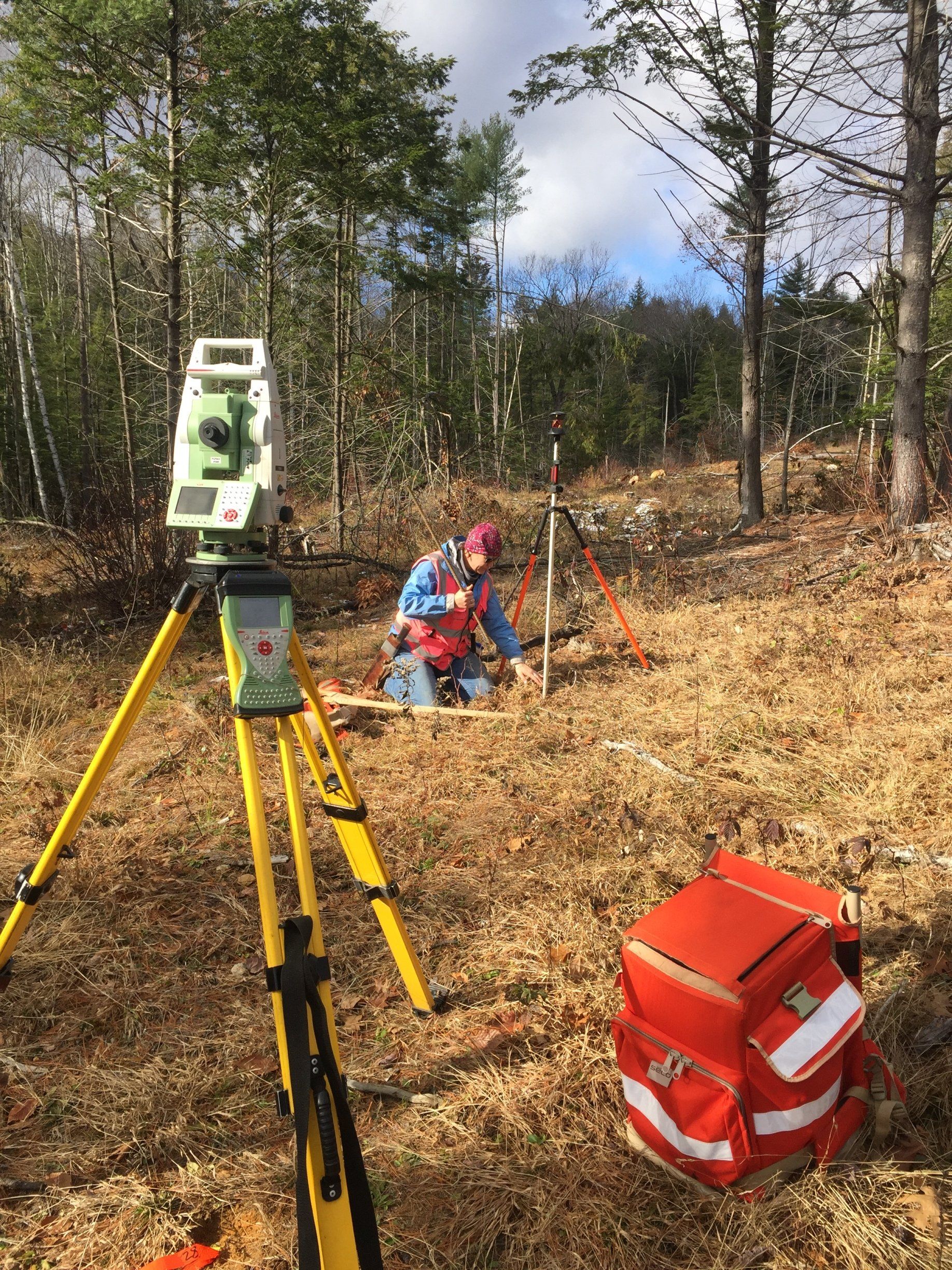
- Construction Survey & Stakeout
- Septic Surveys
- Wetland & Resource Identification & Location Surveys
- ALTA Surveys
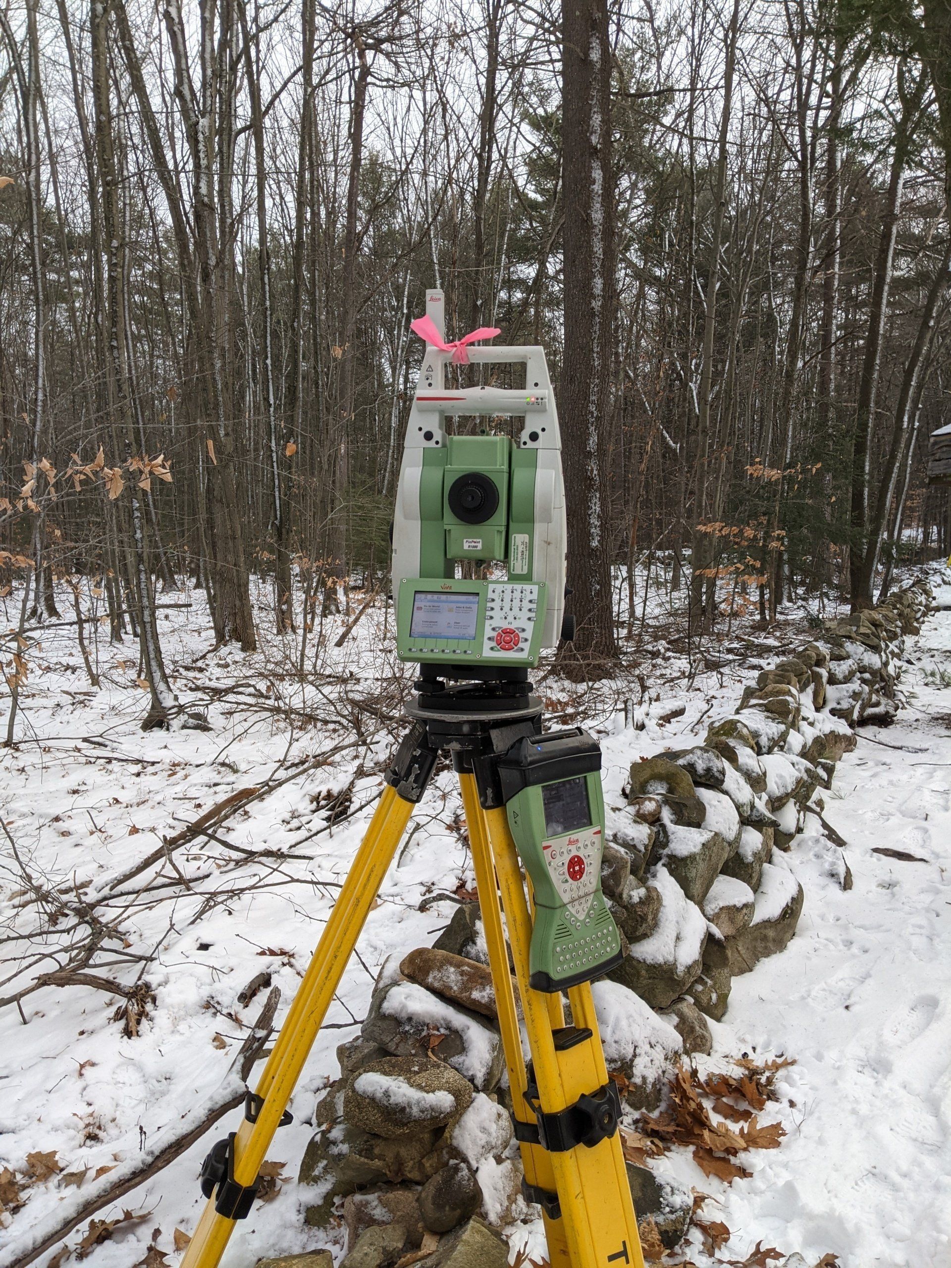
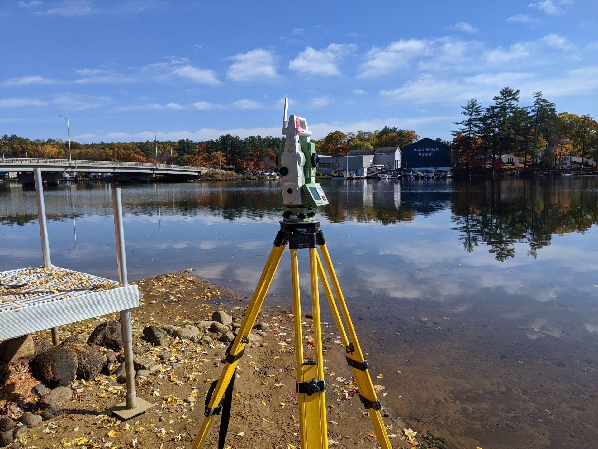
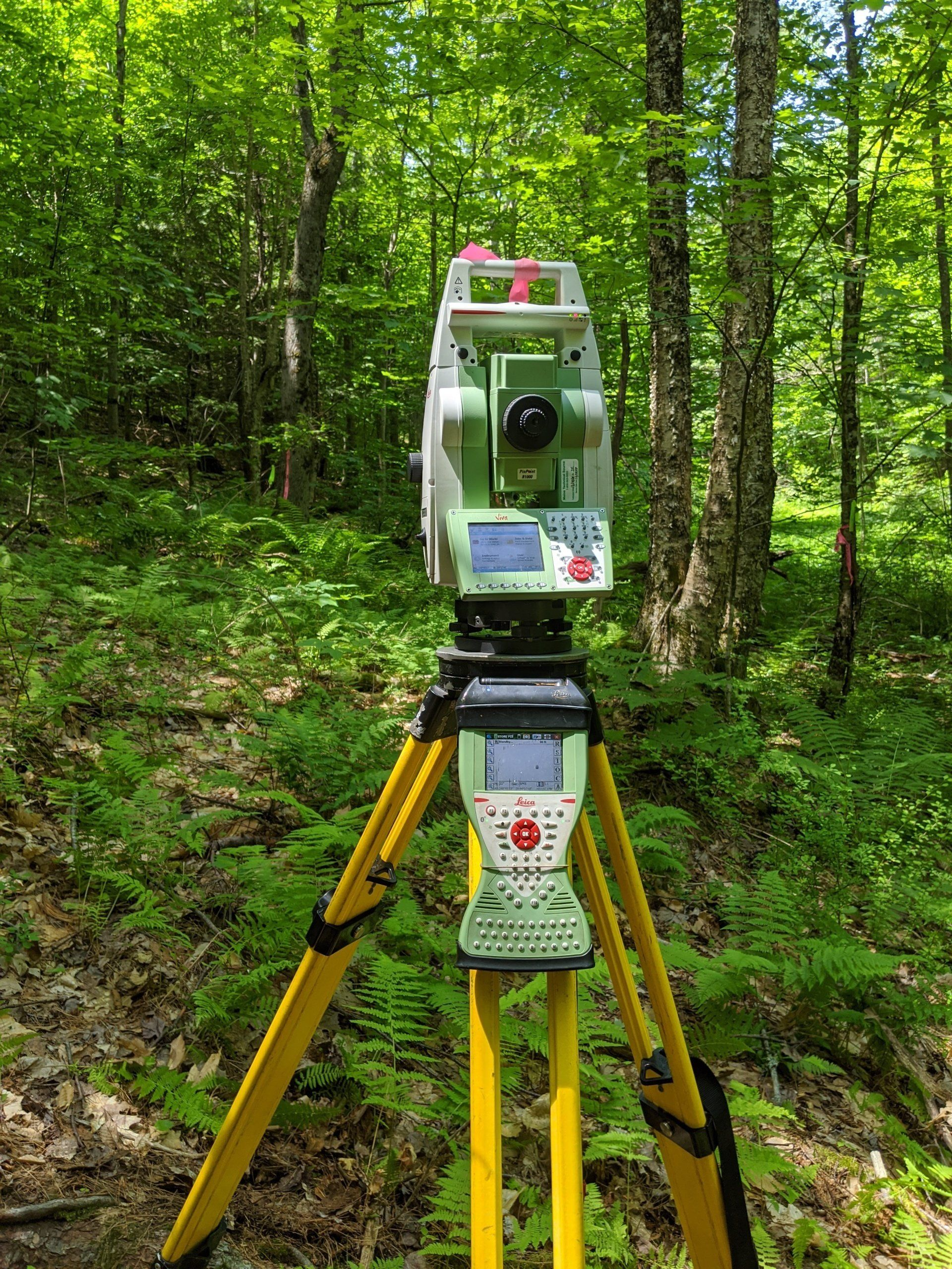
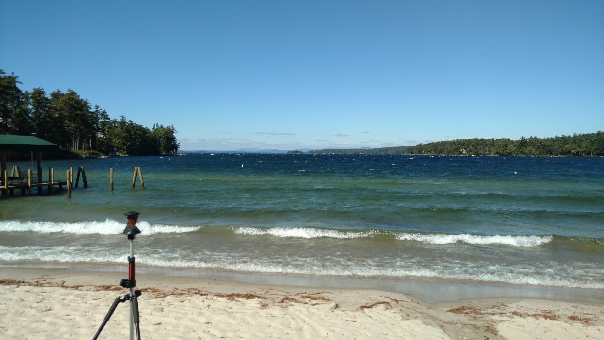
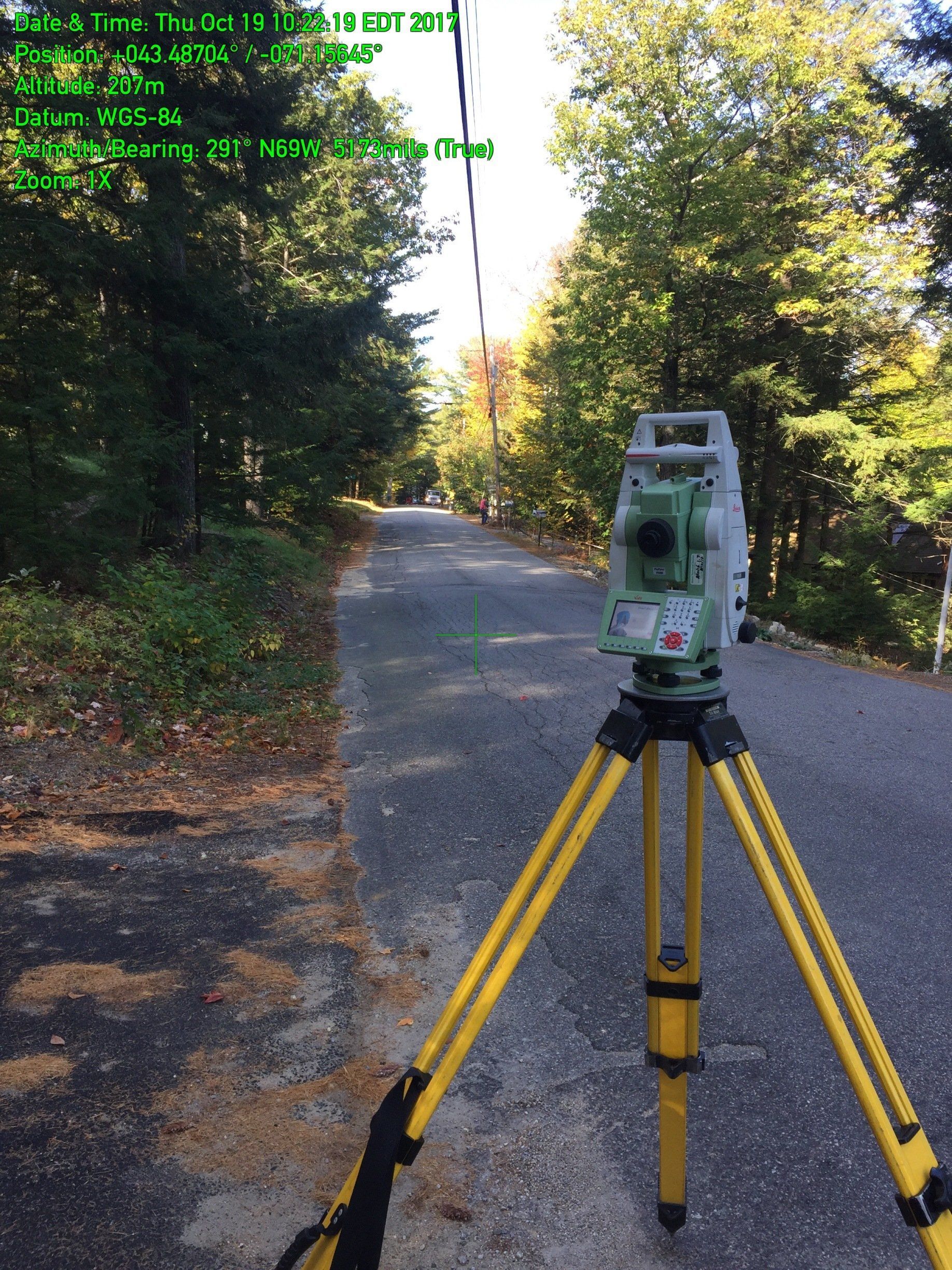
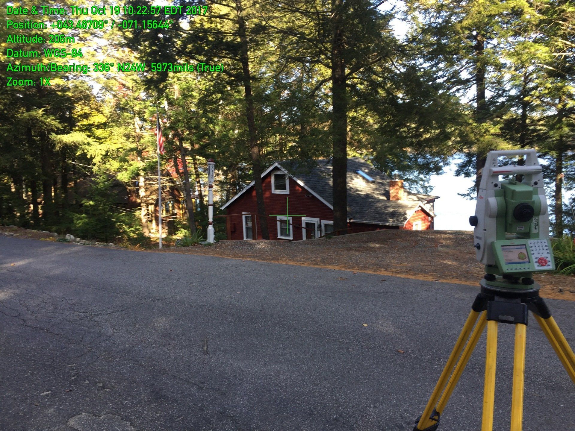
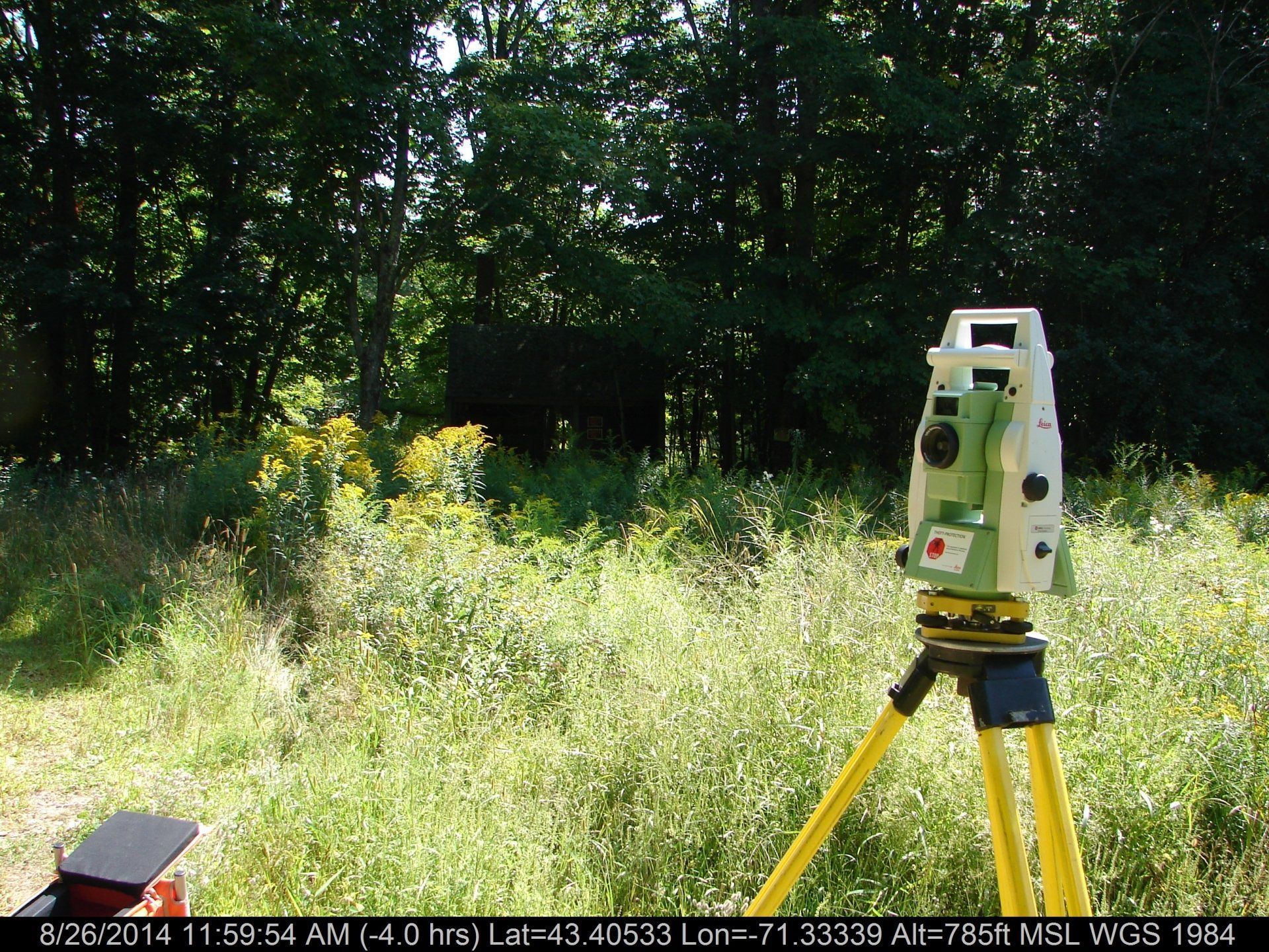
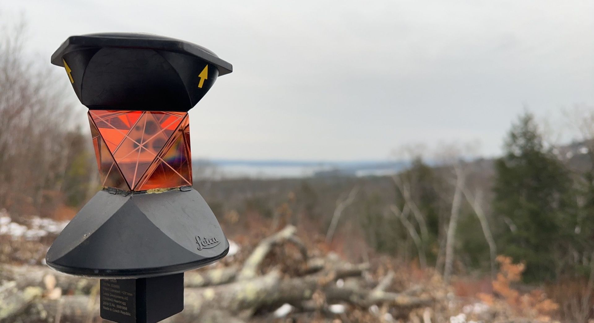
GNSS Surveys (GPS)
- NH State Plane coordinate consulting
- GNSS Real Time Kinetic survey
- Control surveys
- RTK Stakeout
FEMA
- Flood Elevation certificates
- e-LOMA (Electronic Letter of Map Amendment)
- Elevation Control
Real Estate Services
- Waterfront Site Assessments for NHDES
- Septic System Design
- Sideline stakeout
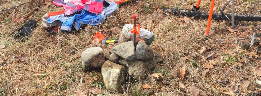
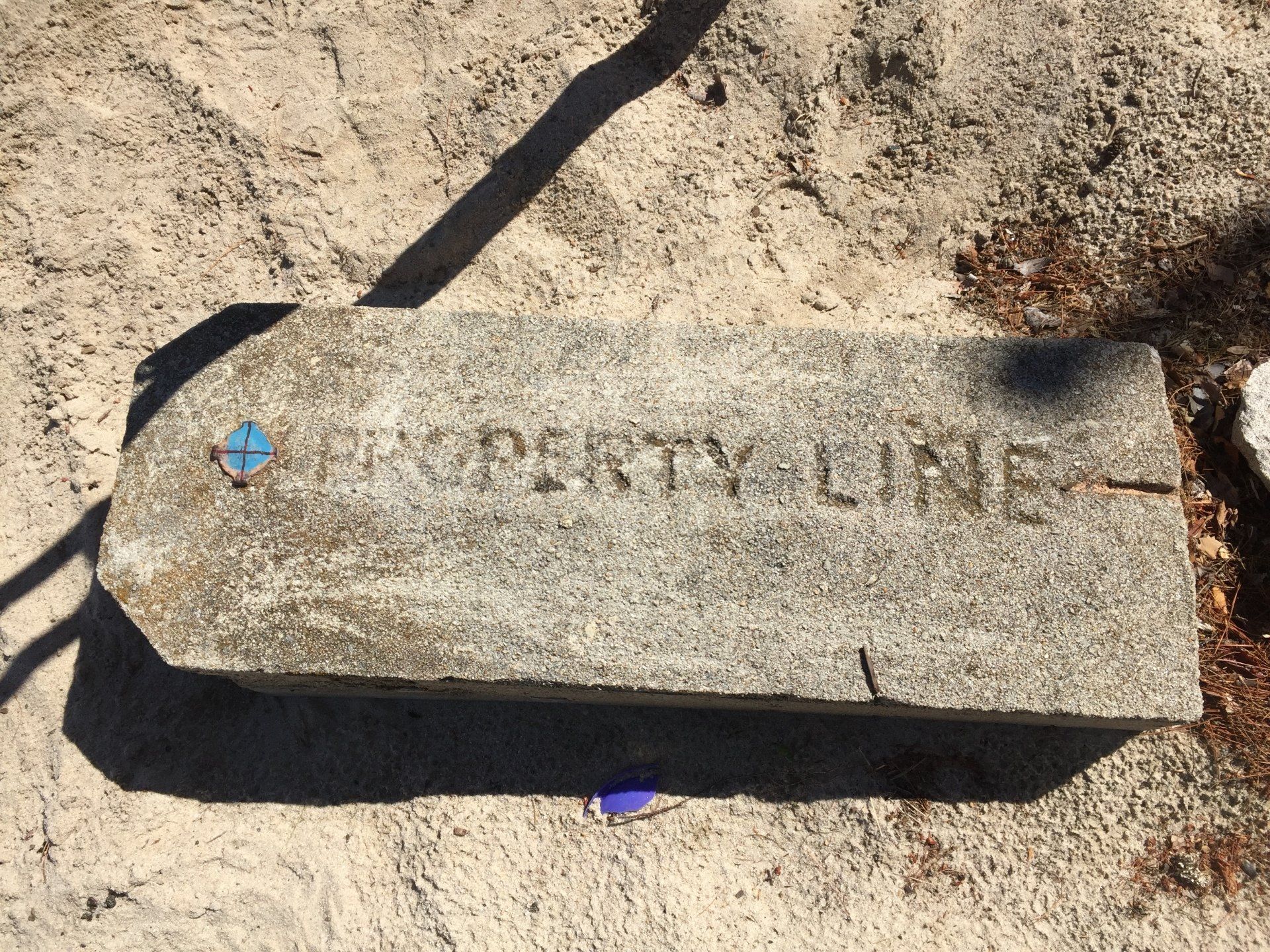
- Lot corners recovered
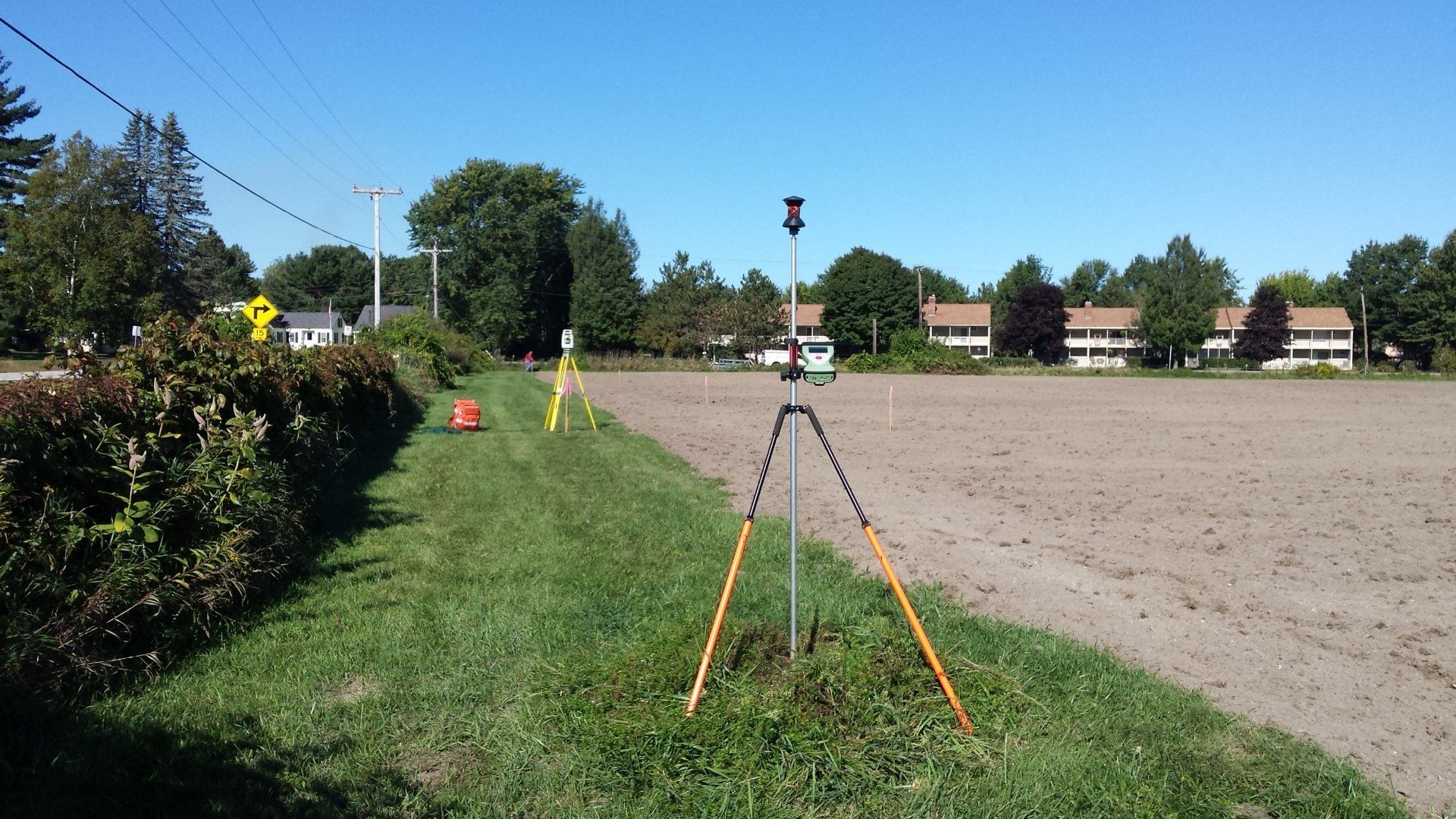
GNSS Surveys
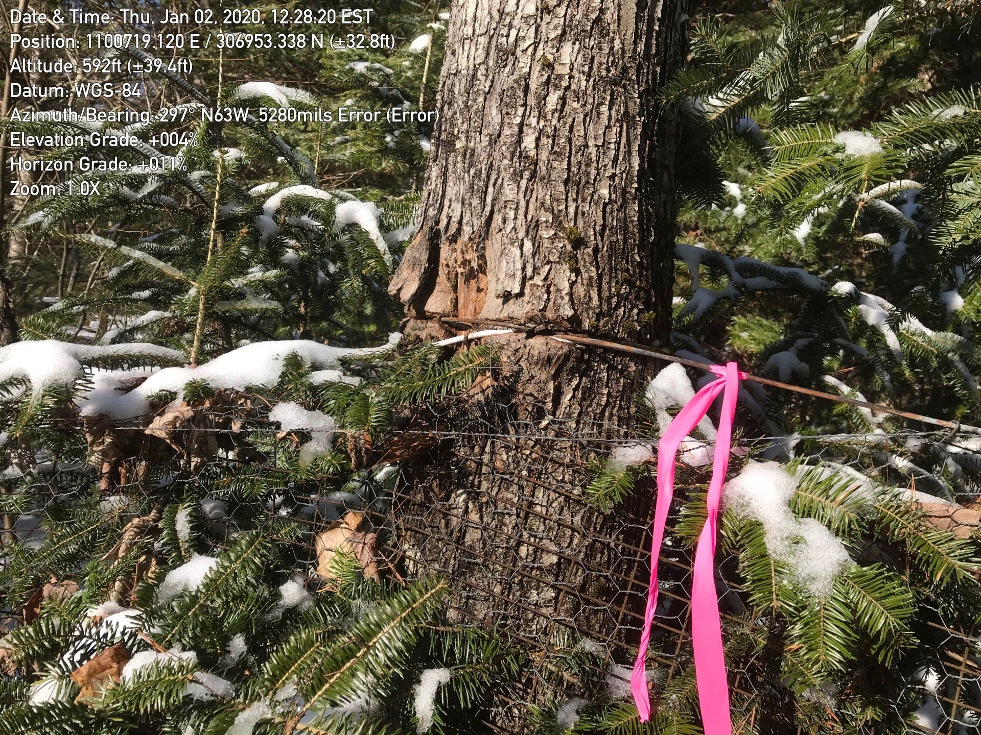
We will employ space-based positioning for almost every project we start. The "Global Positioning System," better known as GPS... brings each project into the 21st century.
You will see the term "GNSS," this stands for Global Navigation Satellite System -> and it includes satellites from:
- US GPS
- European Galileo
- Russion GLONASS
- Chinese Beidou
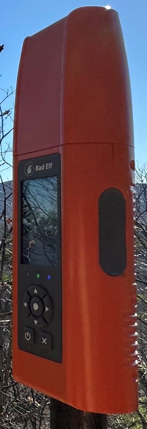
Our positions are corrected in real time using an RTK Network comprised of permanently installed GNSS receivers across the nation, all fed into a central hub which then instantly computes on a per-second basis, the necessary corrections to resolve our survey observations to plus or minus 0.03 feet.
Given a clear enough view of the sky, sufficient satellites overhead, and consistent environmental (weather) conditions... We can provide superb stakeout and location services.
- GNSS Real Time Kinetic (RTK)
- GNSS Static surveys, post processed by OPUS
- GNSS surveys can save time by establishing the control that a traditional EDM survey will use for boundary, topographic, and an existing feature survey.
- GNSS surveys for FEMA
- Flood Elevation certificates
- e-LOMA (Electronic Letter of Map Amendment)
- Elevation Control
Static GPS Control Surveys
When the project needs to be "geo-referenced" (and the majority of work in this day and age should be,) we need to identify where on planet Earth we are.